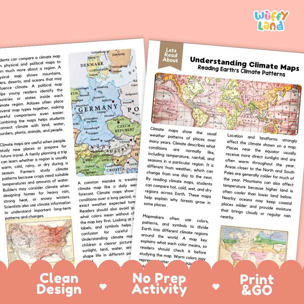
Help students explore meteorological patterns, world climate zones, geographic map reading, and non-fiction reading comprehension with this engaging, ready-to-print Understanding Climate Maps reading comprehension pack. This educational printable resource introduces young learners to specialized thematic maps designed to illustrate long-term weather patterns across the globe. Students will discover the important difference between daily weather and climate, learning how scientists and cartographers summarize years of temperature, rainfall, and seasonal conditions into clear visual zones. Through an accessible informational text, students examine how geographic factors—such as direct sunlight near the equator, cold polar latitudes, mountain elevations, and ocean currents—shape local climates and ecosystems. Paired with text-dependent comprehension questions and a complete answer key, it makes integrating social studies, Earth science, basic cartography, and literacy effortless for elementary and middle school classrooms.
About This Product
This printable learning activity offers a clear, visual exploration of how climate maps work and why they are essential tools for understanding our living planet. Students will learn that while everyday weather changes from hour to hour, climate represents the normal, typical atmospheric conditions of an area observed over decades. The passage highlights how cartographers use color codes, shading, and symbols to divide Earth into distinct climate regions—using warm colors to represent tropical or hot areas and cool blues or purples for colder zones. Learners will explore the geographic drivers behind these patterns, discovering why areas near the equator receive direct sunlight and stay warm year-round, while regions near the North and South Poles experience freezing temperatures. The text also explains how landforms create microclimates: high mountain ranges create cooler temperatures at higher elevations, while nearby oceans regulate coastal temperatures and provide moisture for regular rain and clouds. In addition, students examine real-world applications of climate maps—from helping farmers determine which crops will thrive to guiding travel planning—and address common reading mistakes, such as confusing a long-term climate map with a short-term daily weather forecast. Structured comprehension questions reinforce main ideas, context clues, domain vocabulary (such as "climate"), and critical thinking skills.
Topics Included in This Pack
-
Reading Earth's Climate Patterns: Distinguishing between daily weather and long-term climate zones.
-
Using Colors, Patterns & Legends: Interpreting map keys, warm vs. cool color scales, and thematic symbols.
-
Geographic Factors Shaping Climate: Exploring direct sunlight at the equator, polar cold, elevation in mountains, and ocean moisture.
-
Real-World Applications & Avoiding Mistakes: Using climate data for agriculture and travel, and avoiding confusion with weather forecasts.
What is Included
-
Informational Reading Passage: Student-friendly reading sheets featuring colorful climate zone maps, regional European political and physical maps, and clear cartographic legends.
-
Comprehension Question Page: Structured short-answer questions designed to evaluate recall, vocabulary (such as "climate"), and textual evidence.
-
Complete Answer Key: Teacher reference page for quick grading and classroom discussion.
-
Print-and-Go PDF: High-resolution digital file formatted for effortless classroom printing.
Perfect For
-
Social Studies & Earth Science Integration: Core lessons on map skills, thematic maps, weather vs. climate, Earth's climate zones, or ecosystems and biomes.
-
Independent Practice & Centers: Meaningful independent seatwork, morning work, or science and social studies literacy stations.
-
Sub Plans & Quick Review: Self-contained, hassle-free activity pack ready for substitute teachers.
-
Homeschool Lessons: Guided, straightforward reading and comprehension practice for home study.
Why Teachers & Parents Love It
-
Zero Prep Required: Simply print and hand out with no extra cutting or preparation needed.
-
Evidence-Based Questions: Guides students to refer directly back to the text to support their answers.
-
Clean Visual Design: High-contrast typography and clutter-free layouts that keep students focused.
Inspire confidence in climate interpretation, thematic map reading, and Earth science concepts with this Understanding Climate Maps Reading Comprehension Passage and Questions Activity Pack today!