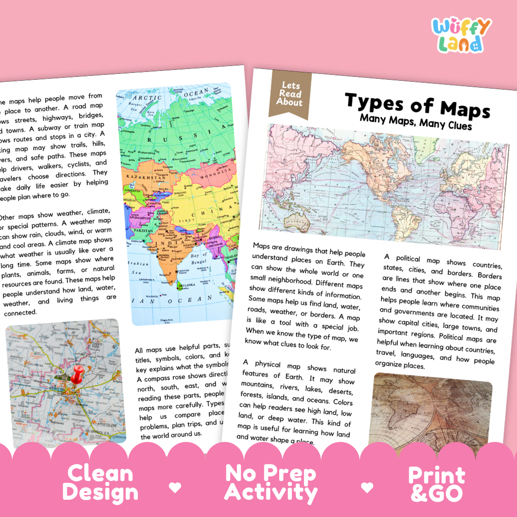
Help students explore cartography, social studies, and essential map-reading skills with this engaging, ready-to-print types of maps comprehension pack. This educational printable resource introduces young learners to physical maps, political maps, thematic weather maps, road maps, and map keys through an accessible informational text. Paired with text-dependent comprehension questions and a complete answer key, it makes integrating social studies, geography, and literacy effortless for elementary and middle school classrooms.
About This Product
This printable learning activity offers a clear, visual exploration of different types of maps as special tools that provide unique clues about our world. Students will discover how physical maps show natural landforms and water bodies, how political maps define borders, states, and capital cities, how road and transit maps guide navigation, and how map elements like keys, scales, and compass roses make map reading simple. Structured comprehension questions reinforce main ideas, context clues, and critical thinking skills.
Topics Included in This Pack
-
Many Maps, Many Clues: Understanding maps as specialized drawings that display different types of information for distinct purposes.
-
Physical Maps: Highlighting natural geography including mountains, rivers, lakes, deserts, and forests with elevation colors.
-
Political Maps: Showing human-made boundaries, countries, states, capitals, cities, and governmental territories.
-
Specialized Maps & Map Elements: Utilizing road maps, weather maps, hiking trail maps, and understanding legends, keys, symbols, and compass directions.
What is Included
-
Informational Reading Passage: Student-friendly reading sheets featuring crisp real-world photography and colorful cartographic illustrations.
-
Comprehension Question Page: Structured short-answer questions designed to evaluate recall, vocabulary, and textual evidence.
-
Complete Answer Key: Teacher reference page for quick grading and classroom discussion.
-
Print-and-Go PDF: High-resolution digital file formatted for effortless classroom printing.
Perfect For
-
Social Studies & Reading Integration: Cross-curricular non-fiction reading during geography, map skills, civics, or community studies.
-
Independent Practice & Centers: Meaningful independent seatwork, morning work, or social studies stations.
-
Sub Plans & Quick Review: Self-contained, hassle-free activity pack ready for substitute teachers.
-
Homeschool Lessons: Guided, straightforward reading and comprehension practice for home study.
Why Teachers & Parents Love It
-
Zero Prep Required: Simply print and hand out with no extra cutting or preparation needed.
-
Evidence-Based Questions: Guides students to refer back to the passage to support their answers.
-
Clean Visual Design: High-contrast typography and clutter-free layouts that keep students focused.
Inspire curiosity about cartography and navigation with this Types of Maps Reading Comprehension Passage and Questions Activity Pack today!