Step into the vast "Land of the Sahara" in West Africa with this engaging world geography exploration pack! 🇳🇪✨ This all-in-one Niger Bundle Geography Activity lets elementary learners discover towering sand dunes, traditional river barges along the Niger River, unique earthen architecture, and desert nomadic traditions through guided research worksheets, dual-style reference posters, and authentic photo flashcards! 🌍🐪
About This Product 🌺 Designed to turn elementary world geography and social studies into an exciting African adventure, this printable unit study provides young students with a comprehensive overview of Niger. Kids will explore the orange, white, and green flag with its golden solar disc, the capital city of Niamey, iconic national symbols like the spiral-horned Addax antelope and hardy Acacia Tree, the bustling trade along the River Niger, and comforting staple dishes like Djerma Stew and Rice through interactive activities perfect for social studies centers, homeschool morning baskets, and country research projects! 🎒🗺️
What is Included? 📦
📄 10-Page Country Research Packet: Fact-filled student worksheets covering the national flag, capital city of Niamey, French official language, West African CFA Franc (CFA) currency, arid desert to southern savanna climates, geographic maps, ancient history, and cultural landmarks.
🎨 2-Page "Get to Know Niger" Posters: Includes 1 full-color reference poster and 1 black-and-white coloring poster highlighting the Addax (Addax nasomaculatus), Acacia Tree (Acacia albida), regional map, traditional foods like Djerma Stew and Rice, uranium resources, Sahara Desert dunes, and vibrant local culture.
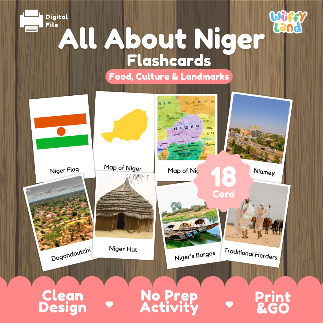
📸 18-Page Real Photo Flashcards: High-resolution photo cards featuring Capital: Niamey, picturesque Dogondoutchi, traditional thatched Niger Hut, Niger's Barges cruising the river, Traditional Herders in customary attire, national flag, and geographic maps.
🖨️ Print & GO PDF: High-resolution digital files ready to print and use immediately with zero prep work required! ✨
Exciting Topics Covered 🏜️
🗺️ River Geography & Saharan Landscapes: Exploring the sweeping dunes of the Sahara Desert, the vital waterways of the River Niger, and rocky mountains and arid plains.
🏛️ Regional Architecture & Rural Towns: Discovering the distinctive hills of Dogondoutchi, traditional village roundhuts, and riverfront settlements in Niamey.
🍲 Flavors of Niger: Learning about beloved daily staples including savory meat and vegetable Djerma Stew served over steamed rice.
🐪 Wildlife, Trees & Pastoral Traditions: Investigating the critically endangered desert-adapted Addax antelope, shading Acacia trees, and nomadic livestock herding heritage.
Why Teachers & Parents Love It 💛
⚡ Zero Prep Required: Simply print out the pages you need and start exploring right away! 🚀
🖼️ Engaging Real Photos: Blends authentic photography with kid-friendly coloring and research pages to spark curiosity and deepen learning.
🌟 Best Deal Value: Three versatile learning tools (research packet, dual-format posters, and photo flashcards) bundled into one complete set! 💡
Bring the Sahara dunes, river trading life, and warm West African heritage to life in your classroom with this Niger Geography Activity Bundle today! 🇳🇪🌾✨
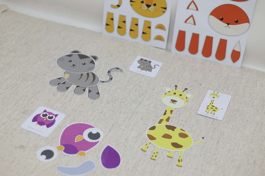
Looking for a fun yet educational activity for your kids? Say hello to the Animal Puzzle from Wuffy Land! This DIY puzzle is not just about fun—it’s also a great...
Looking for a fun yet educational activity for your kids? Say hello to the Animal Puzzle from Wuffy Land! This DIY puzzle is not just about fun—it’s also a great...
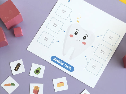
Turn tooth-brushing from a daily battle into a playful routine! Our Learning to Clean Teeth printable gives kids a friendly, visual way to practice healthy habits while building fine-motor and...
Turn tooth-brushing from a daily battle into a playful routine! Our Learning to Clean Teeth printable gives kids a friendly, visual way to practice healthy habits while building fine-motor and...
1 / of2
Subscribe to our emails
Be the first to know about new collections and exclusive offers.
Choosing a selection results in a full page refresh.