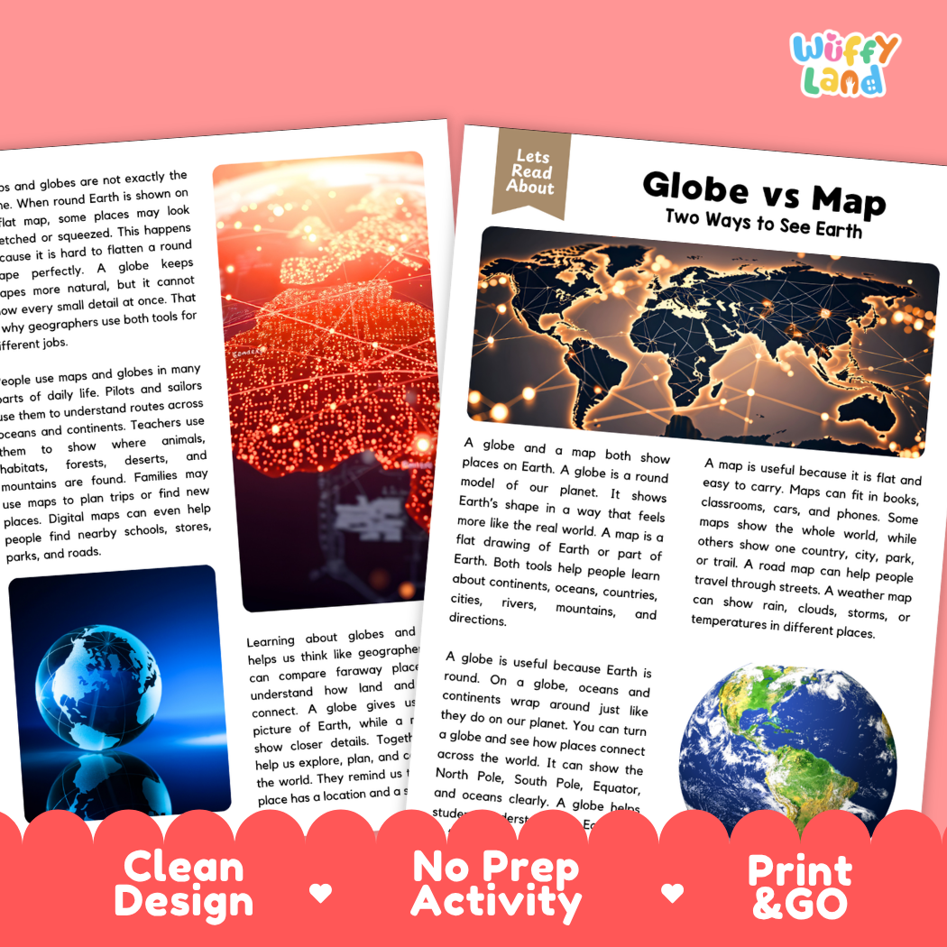
Help students explore world geography, cartography, and essential map skills with this engaging, ready-to-print globe vs. map reading comprehension pack. This educational printable resource introduces young learners to the differences between 3D spherical globes and 2D flat maps, map distortion, navigation tools, and practical daily uses through an accessible informational text. Paired with text-dependent comprehension questions and a complete answer key, it makes integrating social studies, science, and literacy effortless for elementary and middle school classrooms.
About This Product
This printable learning activity offers a clear, visual exploration of globes and maps as two distinct ways to view Earth. Students will discover how a round globe accurately models Earth's shape, poles, and equator without distorting landmasses, while flat maps offer unmatched portability and close-up detail for cities, roads, parks, and weather tracking. The text explains why flattening a round sphere causes distortion and how geographers use both tools together to navigate and understand our planet. Structured comprehension questions reinforce main ideas, context clues, and critical thinking skills.
Topics Included in This Pack
Two Ways to See Earth: Comparing round 3D models of Earth with flat 2D drawings of geographic areas.
The Advantages of a Globe: Accurate representation of Earth's curved shape, continents, poles, and the equator without distortion.
The Versatility of Maps: Portability in books, cars, and phones, plus specialized views like street roadmaps and weather forecasts.
Map Distortion & Geographer Tools: Why stretching a round planet onto a flat sheet alters land shapes, and how each tool serves different navigation needs.
What is Included
Informational Reading Passage: Student-friendly reading sheets featuring crisp real-world photography of globes, world maps, and navigation tools.
Comprehension Question Page: Structured short-answer questions designed to evaluate recall, vocabulary, and textual evidence.
Complete Answer Key: Teacher reference page for quick grading and classroom discussion.
Print-and-Go PDF: High-resolution digital file formatted for effortless classroom printing.
Perfect For
Social Studies & Reading Integration: Cross-curricular non-fiction reading during geography, map skills, social studies, or earth science units.
Independent Practice & Centers: Meaningful independent seatwork, morning work, or social studies stations.
Sub Plans & Quick Review: Self-contained, hassle-free activity pack ready for substitute teachers.
Homeschool Lessons: Guided, straightforward reading and comprehension practice for home study.
Why Teachers & Parents Love It
Zero Prep Required: Simply print and hand out with no extra cutting or preparation needed.
Evidence-Based Questions: Guides students to refer back to the passage to support their answers.
Clean Visual Design: High-contrast typography and clutter-free layouts that keep students focused.
Inspire curiosity about world geography and cartography with this Globe vs Map Reading Comprehension Passage and Questions Activity Pack today!
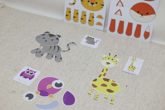
Looking for a fun yet educational activity for your kids? Say hello to the Animal Puzzle from Wuffy Land! This DIY puzzle is not just about fun—it’s also a great...
Looking for a fun yet educational activity for your kids? Say hello to the Animal Puzzle from Wuffy Land! This DIY puzzle is not just about fun—it’s also a great...
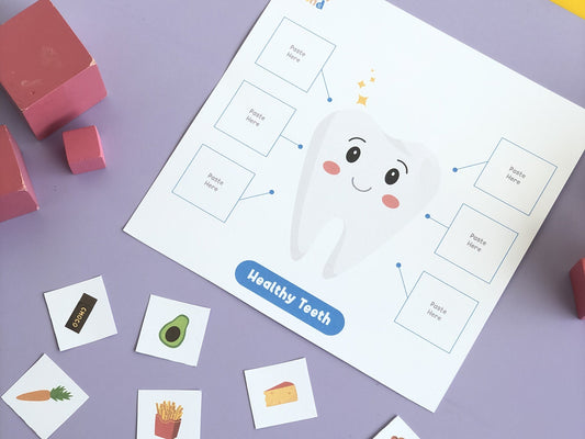
Turn tooth-brushing from a daily battle into a playful routine! Our Learning to Clean Teeth printable gives kids a friendly, visual way to practice healthy habits while building fine-motor and...
Turn tooth-brushing from a daily battle into a playful routine! Our Learning to Clean Teeth printable gives kids a friendly, visual way to practice healthy habits while building fine-motor and...
1 / of2
Subscribe to our emails
Be the first to know about new collections and exclusive offers.
Choosing a selection results in a full page refresh.